The North West Pacific SWOT Cal/Val site contains active eddies and internal gravity waves which provide a suitable calibration dynamic background field.
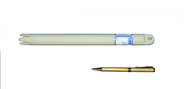
This Cal/Val system has placed four mooring arrays within the SWOT swath in the Subtropical Countercurrent (STCC) region. The moorings are equipped with temperature sensors (SBE56), CTDs (SBE37), and ADCP, collecting hydrographic data and velocity data of the upper ocean. They are located at the vertices and center of a triangle, with the vertices about 7.5 km to the center.
This system will allow a better understanding of the role of submesoscale processes in a highly stratified current system and will give insight into the current ocean state in this region.

Background. Color shading and white contours denote the altimeter-derived root-mean-squared mesoscale sea level anomaly (SLA) and mean sea surface height, respectively. The purple dashed lines represent the nadir track of SWOT. (b) Locations of the four moorings are indicated using circles. (c) Schematic diagram of the configuration of the mooring. Names of the instruments are marked in the diagram.


