A new report analyzed different sampling strategies in the Mediterranean Sea and Atlantic Ocean and developed recommendations for the design of in situ experiments aimed to reconstruct fine-scale ocean currents (~20 km), such as those that will be conducted to validate SWOT satellite observations. The evaluation can provide recommendations for in situ experiments that share the same objectives.
The report Analysis of the OSSEs with multi-platform in situ data and impact on fine-scale structures produced in the framework of the H2020 EuroSea project includes recommendations for the design of in situ experiments aimed to reconstruct fine-scale ocean currents (~20 km), such as those that will be conducted to validate SWOT satellite observations.
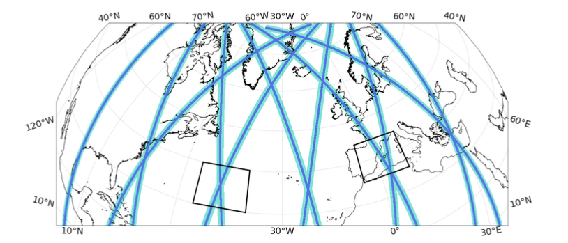
Observing System Simulation Experiments (OSSEs) were conducted to evaluate different configurations of the in situ observing system, including rosette and underway CTD, gliders, conventional satellite nadir altimetry and velocities from drifters. Simulations from high-resolution models were used to simulate the observations and the “ocean truth” to represent fine-scale sea level and surface ocean velocities. Several methods of reconstructions have been tested in two study regions, the Mediterranean Sea and the Atlantic Ocean. The results can be used to provide recommendations for the design of in situ experiments that share the same objective.
In the Mediterranean study region, distinct strategies provide reconstructions similar to the ocean truth and, hence, they are good options. A good compromise considering the advantages of each sampling strategy is the reference configuration, consisting of CTD casts separated by 10 km and down to 1000 m, sampling the domain in 4.3 days. A faster valid alternative is to release the rosette CTD casts down to 500 m depth (3.1 days). An even faster valid strategy consists of changing the rosette CTD casts for an underway CTD with a horizontal spacing between profiles of 6 km and a vertical extension of 500 m (1.8 days); the scores in this case are higher than for the configuration with rosette CTD casts down to 500 m depth. A sampling strategy not appropriate for our objective is the configuration consisting of an underway CTD sampling one profile every 2.5 km and down to 200 m. Regarding seasonality, the reference configuration is a sampling strategy that provides reconstructions similar to the ocean truth in summer and in winter.
In the Atlantic study region, sampling strategies consisting of CTD profiles down to 1000 m depth provide reconstructions with higher scores than the strategies that only sample the water column down to 500 m depth. The geostrophic velocities reconstructed from the strategies that sample the upper 1000 m depth have a magnitude similar to the ocean truth, while the strategies that only sample the upper 500 m depth reconstruct a magnitude ~50% smaller. Different horizontal spacings between CTD profiles provide fine-scale current reconstructions with high scores. The reference configuration, which considers a distance between casts of 10 km, is a good compromise between horizontal resolution, spatial coverage and sampling duration. The configuration consisting of an underway CTD sampling one profile every 2.5 km and down to 200 m reconstructs the geostrophic velocity field with an underestimation of 60% in magnitude with respect to the ocean truth; this is the strategy with the lowest scores also for the Atlantic region. The analysis of seasonality suggests that the reference configuration, which provides good reconstructions in summer, does not capture the structures present in the region of study in winter.
The evaluation of different sampling strategies was done applying an advanced version of the spatial optimal interpolation used in field experiments, which also includes the temporal variability of the observations. An extensive analysis to find the optimal temporal correlation scale found that a scale of 10 days gives similar reconstructions than using a scale of 2 days. In the same context, additional reconstruction methods were used.
The MIOST reconstruction technique to map nadir altimetry using drifters was also carried out. It was found that merging of nadir altimetry with drifters can improve the reconstruction of SSH and surface currents and will be thus useful for SWOT validation. New metrics based on the analysis of structures are more appropriate than the point-by-point RMSE to validate features such as eddies or coastal currents. Work should continue on MIOST parameterizations.
FOR MORE INFORMATION
Bàrbara Barceló-Llull, Ananda Pascual, Aurelie Albert, Maxime Beauchamp, Ronan Fablet, Stephanie Guinehut, Jaime Hernandez-Lasheras, Mario H. Gonzales, Solene Jousset, Stephanie Leroux, Baptiste Mourre, Sandrine Mulet, (2022) Analysis of the OSSEs with multi-platform in situ data and impact on fine-scale structures. EuroSea Deliverable, D2.3 . EuroSea, 93 pp. DOI 10.3289/eurosea_d2.3.